The distance was 4180 miles (about 67 hours) from Atlanta according to the shortest-distance calculated by GoogleMaps. My caravan-buddy said that we traveled about 13,000 miles for the whole trip.
Last winter, I watched a travel-video on YouTube from Traveling-Robert and he drove to Alaska. I like driving (generally speaking) and wondered if my camping-group friend, Ken, would like to go there. I knew that he had been 'out-west' and I didn't want to travel alone. In many places of Alaska and Canada, there is NO cell service and if something happens while driving, help can not be reached. I sent a message to Ken asking if he would like to drive to Fairbanks and he said 'yes'. After that, everything else was 'detail'.
We talked about the best date to leave and decided on May 28. We met in Atlanta and he has cruise-control so I followed him.
He knew the roads and developed a path which was diagnonal across the United States to a border crossing in Montana.
Both of us had a copy of the "Milepost" book, and we used 'itinary 4' for the drive. We planned to drive the going-to-the-sun-road in Glacier National Park Montana. The general path was to go to Montana, Calgary, Banff, Jasper, Grand Prarie, Dawson Creek, Fort Nelson, Watson Lake, Whitehorse, Dawson City, Tok, Delta Junction, Fairbanks, We changed the route to exclude Yellowknife and Anchorage. For our return trip, we left Fairbanks, drove to Tok, Whitehorse, the Stewart-Cassier Highway to Hyder, then Prince George. We diverted from the completion of the itinery and visited friends south of Seattle. We stayed there several nights, then drove highway 2 (south of the 49th parallel) across the top of the US and south of Canada to Michigan. Interstate 75 north-south route is Michigan to Atlanta. Ken wanted to drive to Prudhoe Bay and see the Artic Circle. The road is gravel and I didn't want to drive that far on gravel. We decided that I would hang around Fairbanks and wait several days for him to see the Artic Circle Ocean and return.
Calgary is a large city and we stopped there for an oil change. I bought grocery-store and WalMart deli food and Ken has an induction stovetop and insta-pot where he cooks meals. He also has several solar panels on his roof and a refrigerator. I used an ice-chest when I started because I can store several days of food from my home refrigerator. After that, I don't bother with cooking and keeping ice in the chest, I just buy food-on-the-road. Also, I don't have solar panels on top of my van.
I have decided to describe the trip with the pictures. It was a LOT of driving and the plan was to drive about 250 miles/day and rest. It was about 4 to 5 hours a day driving to make that distance. I had not calculated 'how long it would take'. I had NO IDEA the estimated return date. My van had about 167,000 miles on the odometer to start the trip and I was concerned about mechanical problems. I had 2 spare tires as I was well-aware that we would be driving gravel roads and that many rocks are especially sharp and puncture tires. My friend also had 2 spare tires on a carrier behind his back door. It was fortunate that neither of us had a flat tire. Ken had around 300,000 miles on the odometer of his van and had already replaced the transmission. To my surprise, we had no mechanical problems. We stopped at quick-oil-change shops twice.
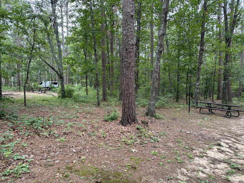
The first picture is our camping in the Mark Twain National Forest. Ken knew several camping spots as he had been there previously. It was a very nice campground and the cost was $5. It had a vault toilet near the campsites and not many other people were there.
2024-05-31_MOBirchTreeTownship,MarkTwain-NationalForest_Camping
-------------------------------------------------------------------------------------------------
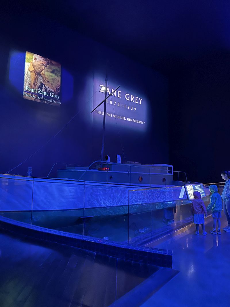
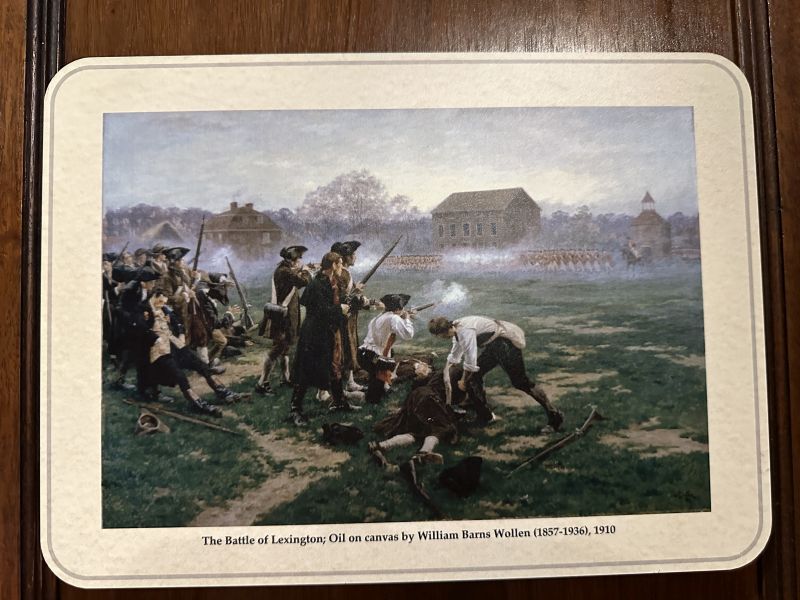
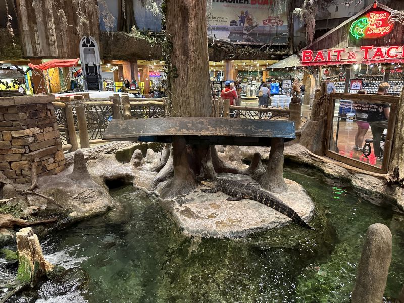
The next 4 pictures are our visit to the Bass Pro Shop first store in Springfield, MO. We were driving to the store when I almost had an accident. I get 'travel-anxiety' before each trip and had concern about having a wreck on the trip - my theory is the more miles you drive, the greater your chance for a wreck. I almost hit a black pickup in the rain who veered into my lane in a diverging diamond intersection. I think that the driver didn't see my van when I proceeded into the intersection after stopping at the light. He/She was IN-A-HURRY and thought that moving into my lane would enable him/her to get to Walmart faster(the next traffic light where he/she turned left). He/she was in the left lane, and I was in the right. When I realized that the pickup was coming into my lane, I steered a little toward the pedestrian middle-aisle concrete-barrier and slammed on brakes. My van is old and doesn't have brake anti-lock system - and with the rain, I slid on the pavement a little. He/She saw me through the passenger window of the pickup just before we hit and they jerked back over to the left lane of travel and a collision was avoided by a hair. I imagined that if there had been a collision, the other driver would not have stopped and filed a police report - they were in too-much of a hurry. I really wasn't watching the driver behind me and am totally unaware if they had a problem with me slamming on brakes or not.
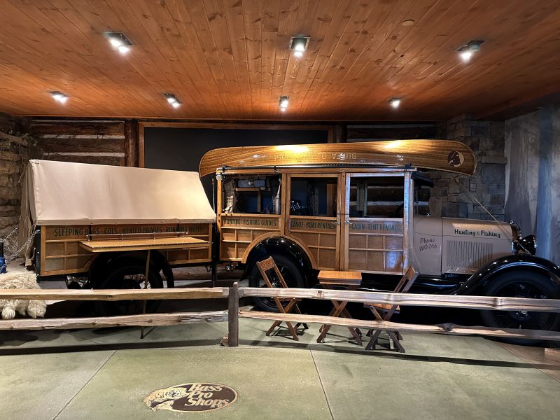
The Bass Pro Shop had an aquarium with a blue-lighted lobby. There also is a very nice museum with many artifacts. The alligator in the store is real. Also, I was impressed with the early woody-camper and trailer that was in the store.
2024-05-31_MOSpringfield,BassProShop_Aquarium_Lobby2
2024-05-31_MOSpringfield,BassProShop_Museum_Battle-of-Lexington
2024-05-31_MOSpringfield,BassProShop_Store_Alligator
2024-05-31_MOSpringfield,BassProShop_Store_Woody-Camper-Bus
-------------------------------------------------------------------------------------------------
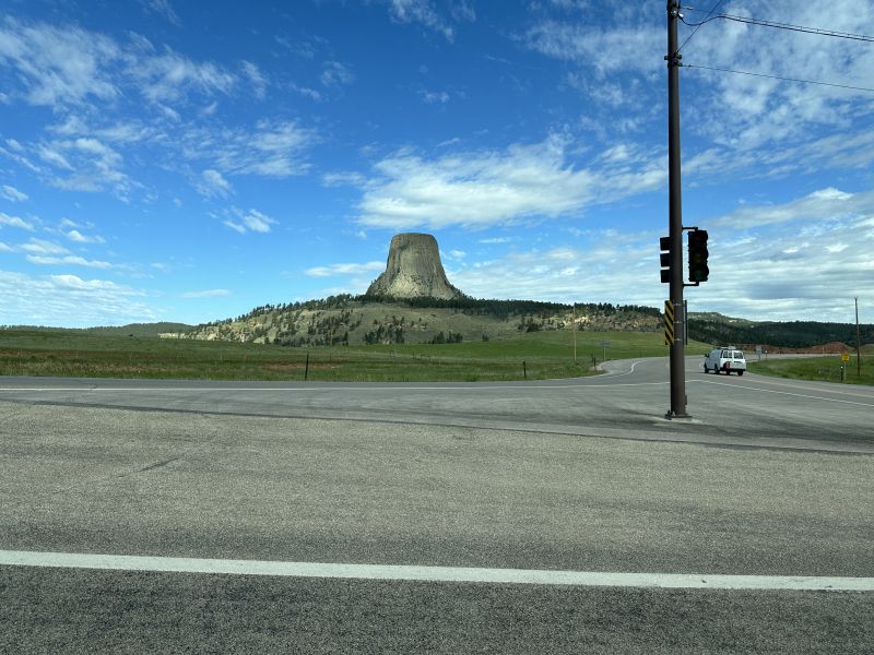
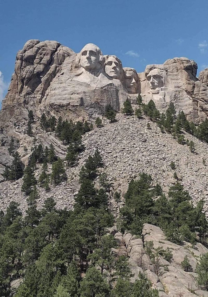
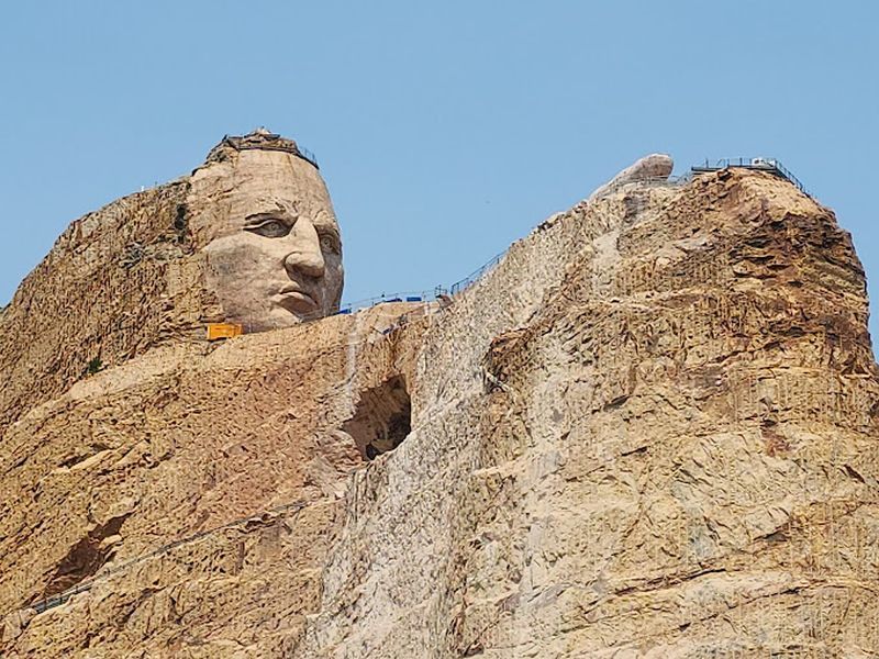
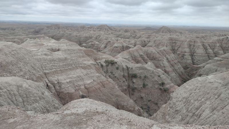
Ken had visited Devils Tower Monument, Mt. Rushmore, the Crazy Horse Monument and Badlands National Park. He took me there to see them also. (By the way, both of used a Senior Nationals Park Pass.)
2024-06-05_WYDevilsTowerMonument
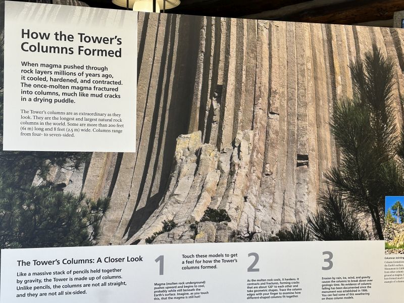
2024-06-05_WYDevilsTowerMonument-VisitorsCenter2
2024-06-05_SDKeystone,MtRushmore_RockFace
2024-06-04_SDCrazyHorseMemorial
2024-06-03_SDBadlandsNationalPark
-------------------------------------------------------------------------------------------------
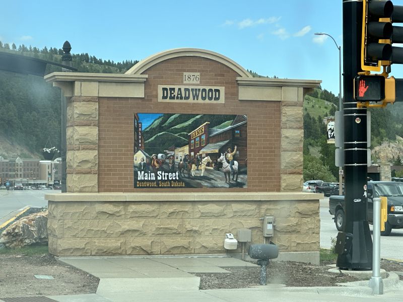
I had watched the HBO video series, 'Deadwood' and always wanted to see what the town looked like now. We were close and did a 'drive through' of the town and saw many tourists and accompanying businesses. Ken wanted to see Sturgis and it was nearby, so we drove-through it also. We also drove Badlands National Park and stopped at the visitors center.
2024-06-04_SDDeadwood_Tourists2
-------------------------------------------------------------------------------------------------
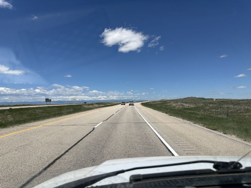
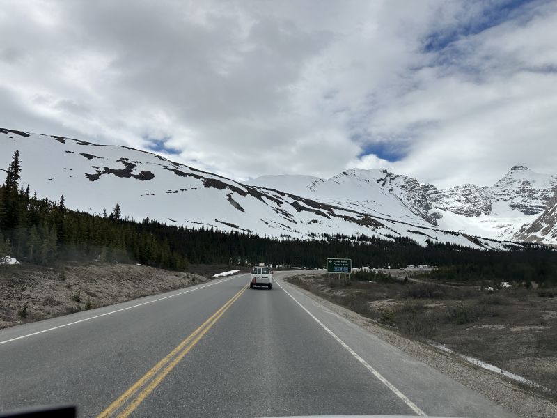
We had many miles driving and I would take pictures to help me remember what it looked like. Others may think that the scenery was boring, but I considered it all to be interesting.
2024-06-05_WYRoad1
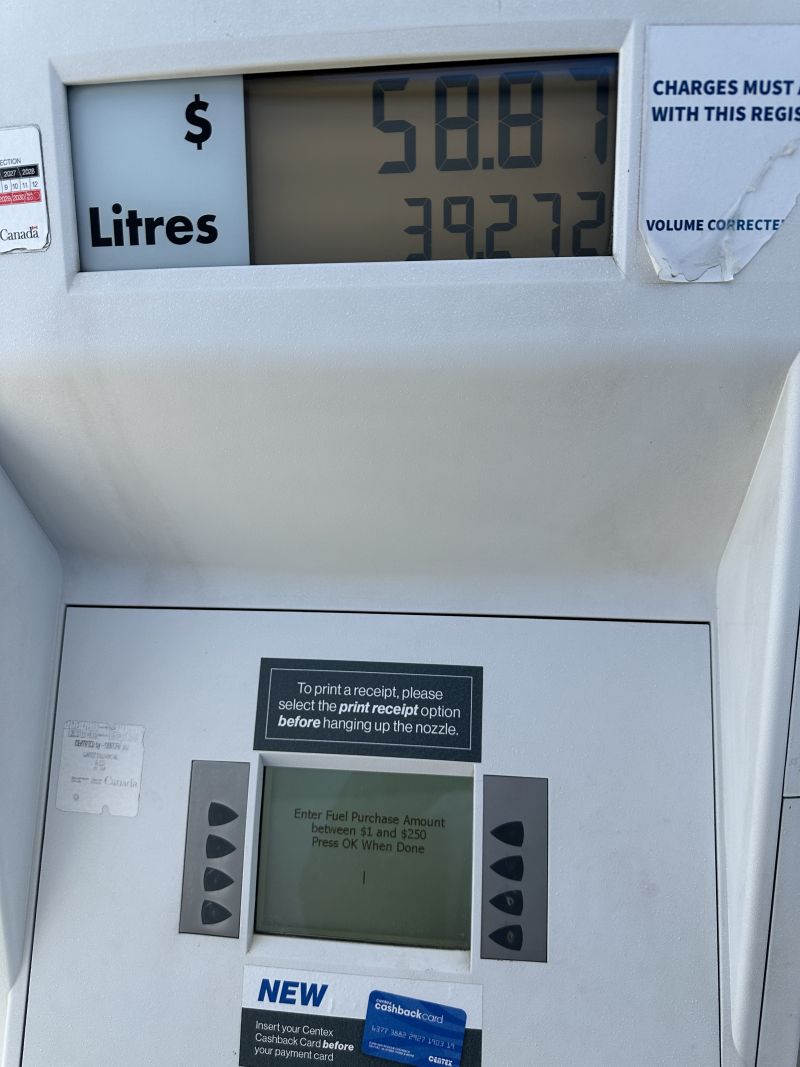
With so much driving, we had to often stop for gas. You can't ask someone how much it cost because the prices are different across the country. I'm posting a gas pump so that the reader can calculate the cost. Remember that you have to convert liters to gallons and the exchange rate for the Canadian dollar. By the way, I used a credit card and didn't realize that I would be charged an international fee. Ken used a card that doesn't have a fee.
2024-06-07_BCCalgary,Midnapore_GasPump_NoticePrice-per-Litre
-------------------------------------------------------------------------------------------------
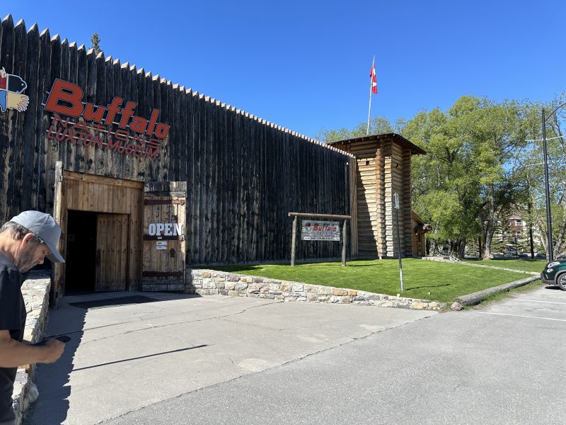
I buy Christmas presents all-year. Inside the Banff museum, I found a very unusual item - obsidian arrowheads. I HAD to buy them - the black glass is unique. In the video series, 'Game of Thrones' - the ending includes the white-walkers which can only be killed using obsidian arrows/axes. Recently, I read where the South American Indians used obsidian arrowheads when fighting the Spanish conquistadores. (I looked them up after returning home and found them on Amazon - of course.)
2024-06-08_BCBanff_Museum
2024-06-08_BCBanffNationalPark-snow
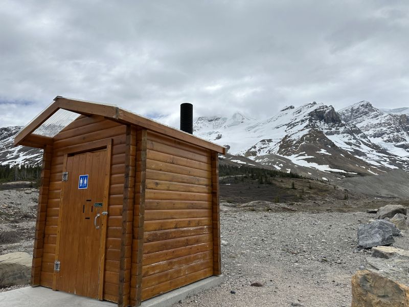
2024-06-08_BCBanffNationalPark-VaultToilet
-------------------------------------------------------------------------------------------------
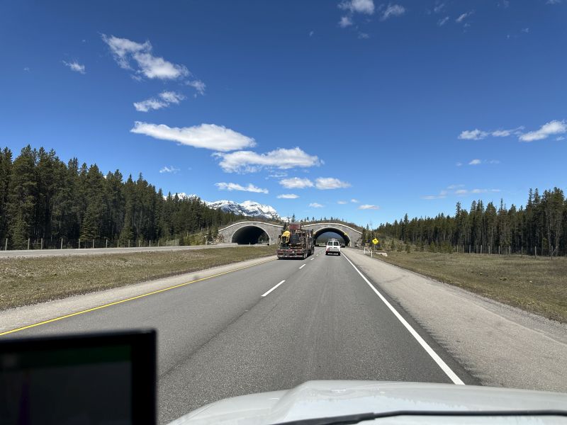
The Icefields-Parkway is the road between Banff and Jasper and you pay a toll for the drive. I had read in a newspaper article that some roads were constructed with animal pathways. The first picture is a tunnel over the road where animals can cross-over the top of the road.
2024-06-08_BCExshaw_IceFieldsParkway_Animal-Bridge1
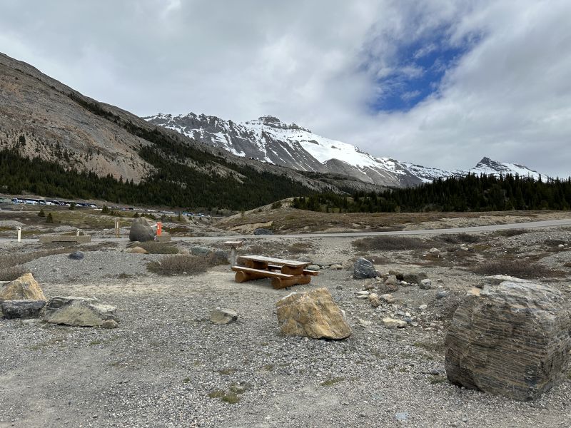
There was heavily-visited glacier on the road and I had to include a picture of the area. There were many busses of tourists and large parking lots for people to go to the visitors center. The parking lot we used had a vault toilet and a path to walk to the glacier. I can't walk on hills well and didn't use the trail. Ken drove to the glacier and returned in a few minutes. The traffic was so heavy, I didn't want to drive there. I had thought that we would be warm for the trip, and took-out my propane heater. At night, after seeing the glacier, I wished that I had packed it. Ken has a diesel heater in his van.
2024-06-08_BCJasperNationalPark_AthabaskaGlacier-parkingLot
-------------------------------------------------------------------------------------------------
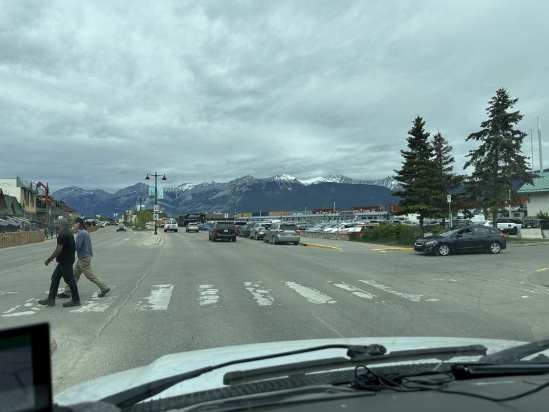
We stopped in Jasper for gas and food. The mountains in the background were beautiful. I saw a tourist-train there and wasn't able to get a picture. Many of my pictures were taken through the front windshield.
2024-06-08_BCJasper-tourists1
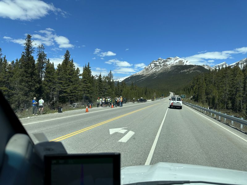
There was a footrace on the road and I took a picture of the runners on the side of the road. Each participant was required to wear a reflective vest and there were many volunteers helping with the event.
2024-06-08_BCLakeLouise_Road-footrace
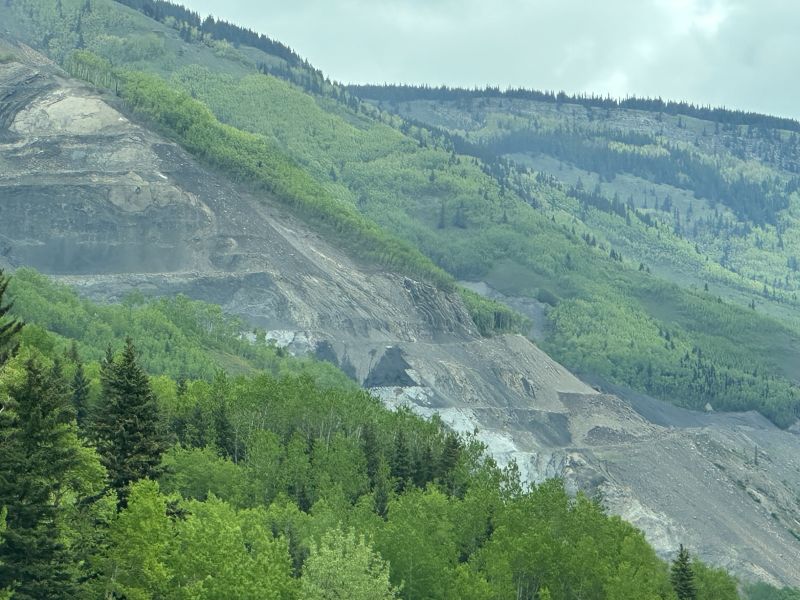
2024-06-09_ABGrandeCache_MountainMine
-------------------------------------------------------------------------------------------------
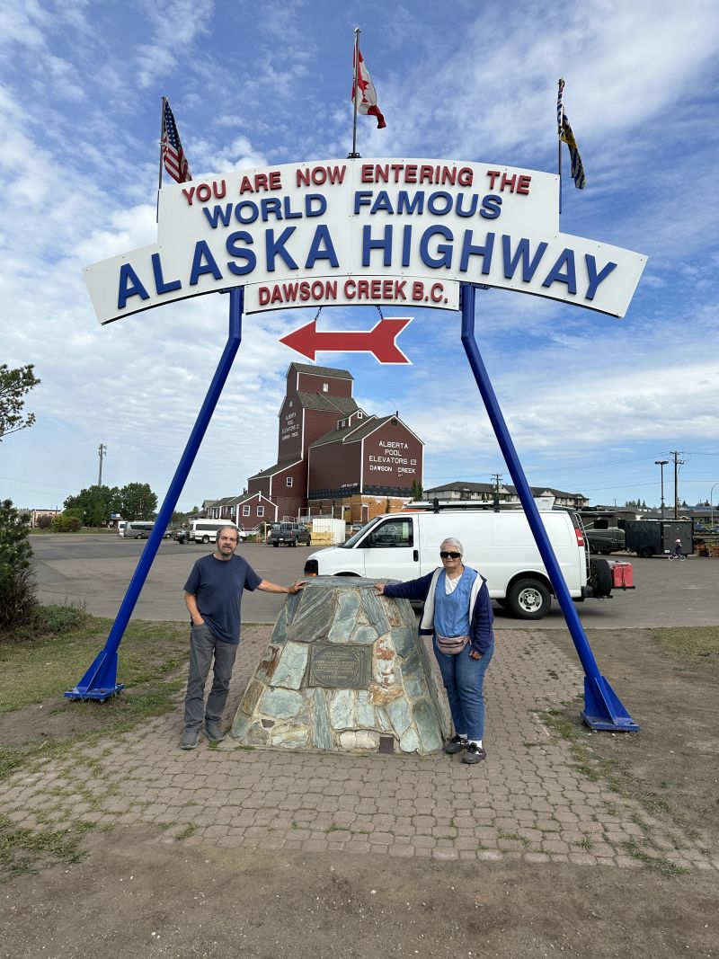
It is imperitive to stop at Dawson Creek and take a photo of the beginning of the Alcan highway. We had excellent weather on most of our trip and I enjoyed the blue sky and clean air there. There is a Dawson Creek and a Dawson City. Many miles are between the areas, but I can't post everything on the website. I took about 1200 pictures. For some unknown reason, my Apple cloud lost some. (Update - the Apple cloud showed me the pictures over two weeks after I returned home. They were not lost after all.) I think that there was a tvseries about Dawson Creek, but I did not watch it.
2024-06-10_BCDawsonCreek_Sign_AKHighway_us
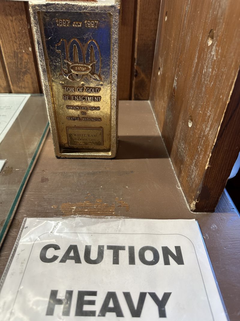
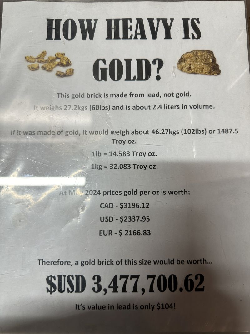
Inside the door was an exhibit about the weight of gold. A lead brick painted gold was displayed and everyone was invited to pick-it-up. I did and was amazed at how heavy it was.
2024-06-10_BCDawsonCity_VisitorsCenter-PickUp-GoldBrick
2024-06-10_BCDawsonCity_VisitorsCenter-PickUp-GoldBrick2
-------------------------------------------------------------------------------------------------
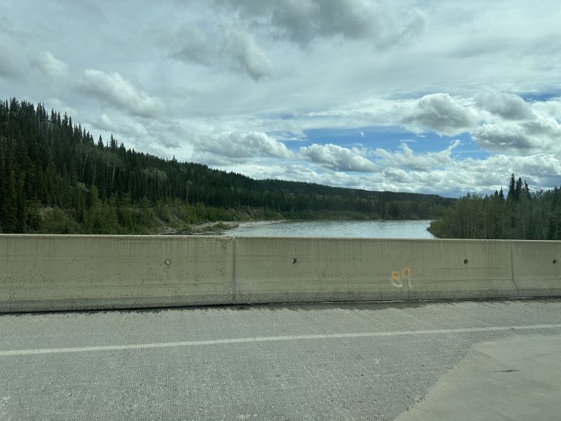
When driving across bridges, I often thought of the many settlers who traveled in the area before the road was built. I wondered how they crossed the many rivers in the area. I presume that they are cold because the water originated in the mountains. Many times, I wanted to take pictures of the river and area but couldn't. A few times when there wasn't much traffic on the road, I would stop on the bridge and just take a picture of the area.
2024-06-11_BCHylandRiver_bridge
-------------------------------------------------------------------------------------------------
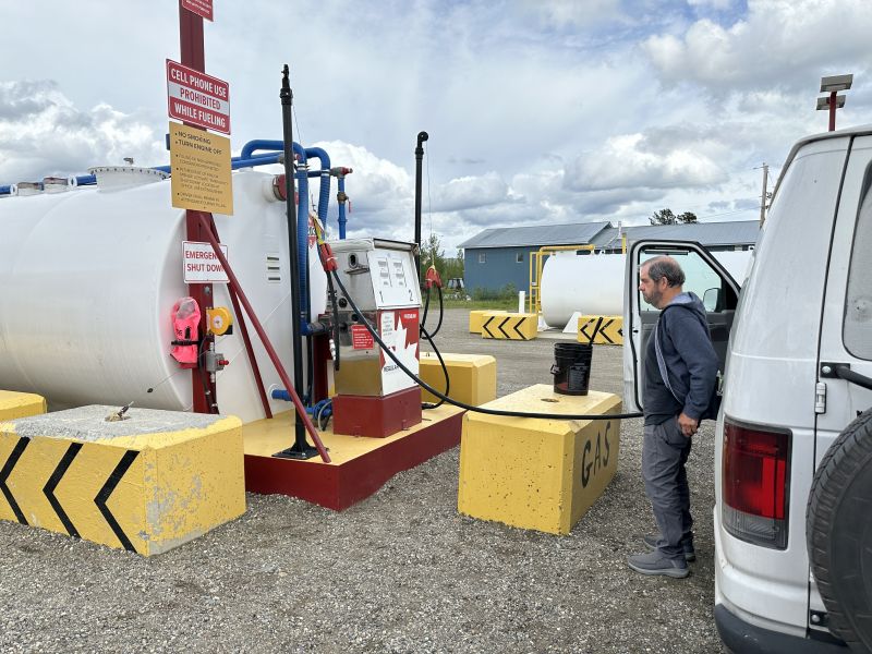
I'm posting a picture of a gas stop because I thought that it was unusual. It is not often that you see above-ground gas tanks.
2024-06-11_BCWatsonLake-gas_Ken
-------------------------------------------------------------------------------------------------
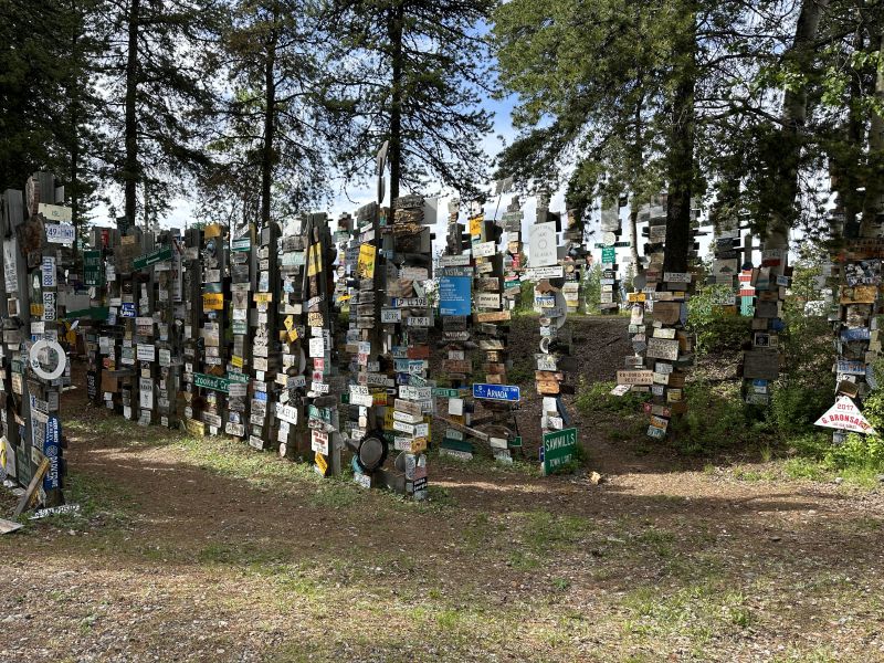
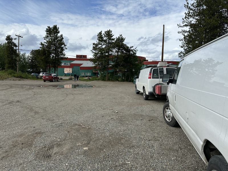
We enjoyed our stop at Watson Lake. For many who travel the road, there is a MUST-STOP sight of the Sign-Post-Forest. It is located next to the parking lot for the visitors center. Inside the visitors center, there are displays of history and a film of the area. They have public showers and a special overnight parking area behind the parking lot concrete barriers.
2024-06-11_BCWatsonLake-SignPostForest1
There were many other campers in the overnight area when we were there.
2024-06-11_BCWatsonLake-VisitorsCenter
-------------------------------------------------------------------------------------------------
As always, any comments that you have about the website would be appreciated. Because the pictures take a long time to load, it is best to view these webpages using a desktop.
Blog-Note 1: http://PuddinInVannaWhite.wordpress.com is the 'original' website of this blog. This blog has a domain name without the .wordpress. middle name. see website=PuddinInVannaWhite.wordpress.com for older trips ---)))LEFT MOUSE CLICK HERE"(((---
Blog-Note 2: I have another website. It is about my 1971 MGB. I sold it but still retain great memories from the days that I owned it. The url address is : see website=PuddinInThe MGB.wordpress.com ---)))LEFT MOUSE CLICK HERE"(((--- )
Blog-Note 3: http://PuddinInParis.wordpress.com is the first blog that I created. see it for the first trip after I retired ---)))LEFT MOUSE CLICK HERE"(((---